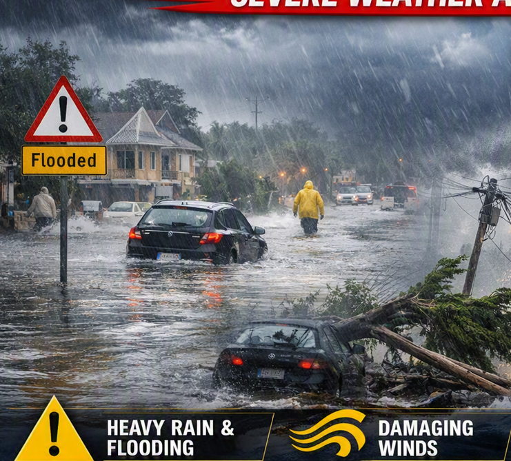
Cape Town – Residents across parts of the Western and Northern Cape have been warned to brace for severe weather conditions from Thursday, with an intense cut-off low expected to bring disruptive rainfall, damaging winds and dangerous coastal conditions.
The warning was issued by the South African Weather Service (SAWS) in an update released early on Tuesday, 1 September 2026.
SAWS said there were no impact-based warnings in place at the time of the update but issued several Yellow Level 4 warnings for Thursday and Friday.
A Yellow Level 4 warning for disruptive rainfall has been issued for the Overberg and Garden Route district municipalities in the Western Cape on Thursday.
“Disruptive rainfall leading to flooding of roads and settlements, and major disruption of traffic flow are expected and possible over the Overberg and Garden Route District Municipalities in the Western Cape on Thursday,” SAWS said.
A separate Yellow Level 4 warning has been issued for damaging winds affecting the Namakwa District Municipality in the Northern Cape, as well as parts of the Cape Winelands, Central Karoo and Little Karoo in the Western Cape.
The warning is expected to come into effect from Thursday afternoon and continue into Friday.
SAWS warned that the winds could cause damage to temporary structures and settlements, while flying debris could result in injuries and pose a danger to life. Transport routes and travel services could also be affected.
Coastal areas are also expected to face hazardous conditions, with a Yellow Level 4 warning for damaging winds and waves issued for the stretch between Alexander Bay and Plettenberg Bay from Thursday.
According to SAWS, the conditions could disrupt ports and harbours and create “danger to navigation at sea”.
The weather service said the severe conditions are linked to an intense cut-off low expected to affect the Western and Northern Cape from Thursday into Friday.
“An intense Cut-Off Low (COL) is expected to affect the Western and Northern Cape provinces from Thursday into Friday (03-04 September 2026),” the advisory said.
The public, including small-stock farmers, have been urged to prepare for a combination of cold, wet and windy weather.
“Very cold, wet and windy conditions, as well as disruptive rainfall, damaging interior winds and damaging coastal winds and waves can be expected,” SAWS warned.
Meanwhile, extremely high fire danger conditions are expected in parts of the eastern Northern Cape and south-eastern Free State.
Authorities and residents in affected areas have been urged to monitor weather updates and take precautions as the system develops, particularly those living in vulnerable settlements, motorists using affected routes, farmers and people operating along the coast.
Follow African Insider on Facebook, X and Instagram
Picture: Copilot
For more African news, visit Africaninsider.com
Compiled by Betha Madhomu