
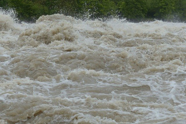
Cape Town – Heavy rain is expected to persist across parts of South Africa on Monday, with Limpopo and Mpumalanga facing the highest risk.
The South African Weather Service warned of disruptive rainfall in these provinces, especially in the Limpopo Valley and Lowveld, where flooding of roads, low-lying areas and bridges is possible.
Gauteng may also see more showers and thundershowers after severe rainfall on Sunday caused flooded roads, fallen trees and infrastructure damage.
While much of the country remains wet, fire warnings have been issued for parts of the Northern Cape and Western Cape due to hot, dry and windy conditions.
Provincial forecast highlights:
Gauteng: Cloudy, cold, scattered thundershowers.
Mpumalanga & Limpopo: Cloudy, cool to cold with widespread showers in the Lowveld.
North West & Free State: Cloudy with isolated to scattered thundershowers.
Northern Cape & Western Cape: Mostly fine, warm to hot, windy; Western Cape very hot in some areas.
Eastern Cape: Mix of fog, fine weather and isolated light rain depending on region.
KwaZulu-Natal: Cloudy, cool, isolated showers and thundershowers.
UVB levels range from low to very high depending on the province.
Follow African Insider on Facebook, X and Instagram
Picture: Pixabay
For more African news, visit Africaninsider.com
Compiled by Betha Madhomu