
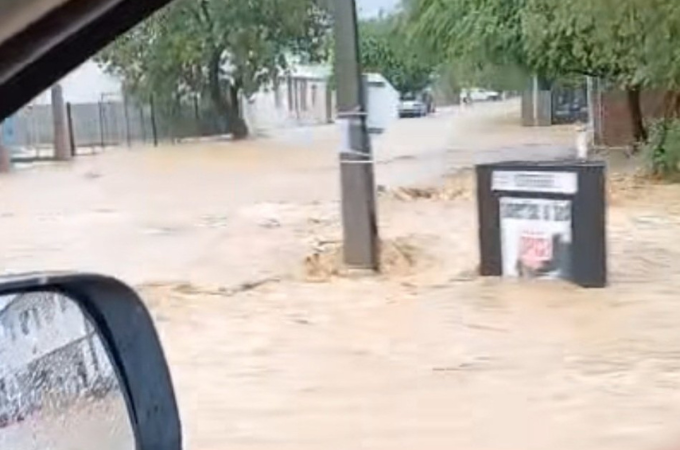
Cape Town – Cape Town is bracing for a powerful winter onslaught as an intense cold front sweeps through the Western and Northern Cape from Wednesday, 25 June, to Friday, 27 June.
The South African Weather Service (SAWS) has issued multiple weather warnings, highlighting the arrival of heavy rainfall, damaging winds, and gale-force coastal conditions.
Yellow level 2 warning: Damaging winds
Affected area: Western Cape (south coast)
Validity period: 25 – 26 June 2025. #saws #weatheroutlook #southafricanweather pic.twitter.com/0UmtS7VOjv— SA Weather Service (@SAWeatherServic) June 23, 2025
City officials have urged residents to prepare early.
Sonica Lategan, spokesperson for Cape Town’s Disaster Risk Management Centre, said that teams are on high alert and advise the public to “waterproof properties, clear gutters and dig trenches to lead water away from structures” ahead of the front’s arrival.
SAWS has warned that this system may also produce “icy, wet and windy conditions with heavy rainfall, strong interior winds and gale-force coastal winds, very rough to high seas and light snowfall on the high ground”.
MEDIA RELEASE: Another intense cold front is expected to hit the Namakwa District of the Northern Cape and the Western Cape from Wednesday to Friday, 25 to 27 June 2025 pic.twitter.com/graDRCngNU
— SA Weather Service (@SAWeatherServic) June 23, 2025
The SA Weather Service has advised of an intense cold front expected to make landfall on Wednesday, 25 June until Friday, 27 June.
In the event of any life-threatening emergency, please call the City’s Public Emergency Communication Centre on 021 480 7700.#CTInfo pic.twitter.com/Xdnkqql2k8
— City of Cape Town (@CityofCT) June 23, 2025
Follow African Insider on Facebook, X and Instagram
Picture: X/@JGvanZyl_ZA
For more African news, visit Africaninsider.com
Compiled by Lisabeal Nqamqhele